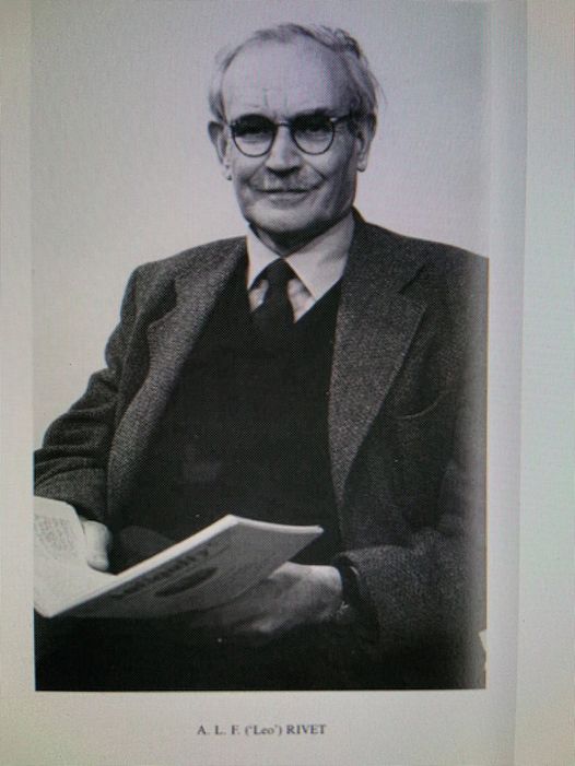
Albert Lionel Frederick Rivet (1915–1993), archaeologist and cartographer, was born at 22 Penistone Road, Streatham, London, on 30 November 1915, the only son and second surviving child of Albert Robert Rivet (1879–1955), a paint and glass manufacturer, and his wife, Rose Mary Bulow (1880–1960), a teacher.
From 1923 to 1929 he attended Falconbury preparatory school, Purley, whence he gained a scholarship to Felsted School, and in 1934 he entered Oriel College, Oxford, to read literae humaniores(Greats).
In January 1946 there seemed little prospect of Rivet'sresuming archaeological studies and he turned to bookselling, at first in Cambridge with Deighton, Bell & Co. and later independently at Crowborough, Sussex, still with the hope of pursuing archaeology in his spare time.
In 1952 Rivet began his career as a full-time archaeologist by securing the post of assistant archaeology officer in the Ordnance Survey. During his thirteen years at the Ordnance Survey, at first in Chessington, Surrey, but from 1958 in the newly established sub-office in Edinburgh, Rivet was responsible for the production of historical period maps, a series inaugurated by O. G. S. Crawford, the survey's first archaeology officer, with a Map of Roman Britainthat appeared in 1924, and in a second edition in 1928.
In 1964, by now a senior figure in British archaeology, Rivet resigned from the survey and took an appointment as lecturer in classics at Keele University in Staffordshire. After ten years (1974) he was appointed to a personal chair in Roman provincial studies (exclusion of archaeology was at his own request), which he held until his retirement in 1981
(JJWilkes and Photo ©British Academy)

